GeoCue's TrueView 435 3D Imaging System
Quick Overview
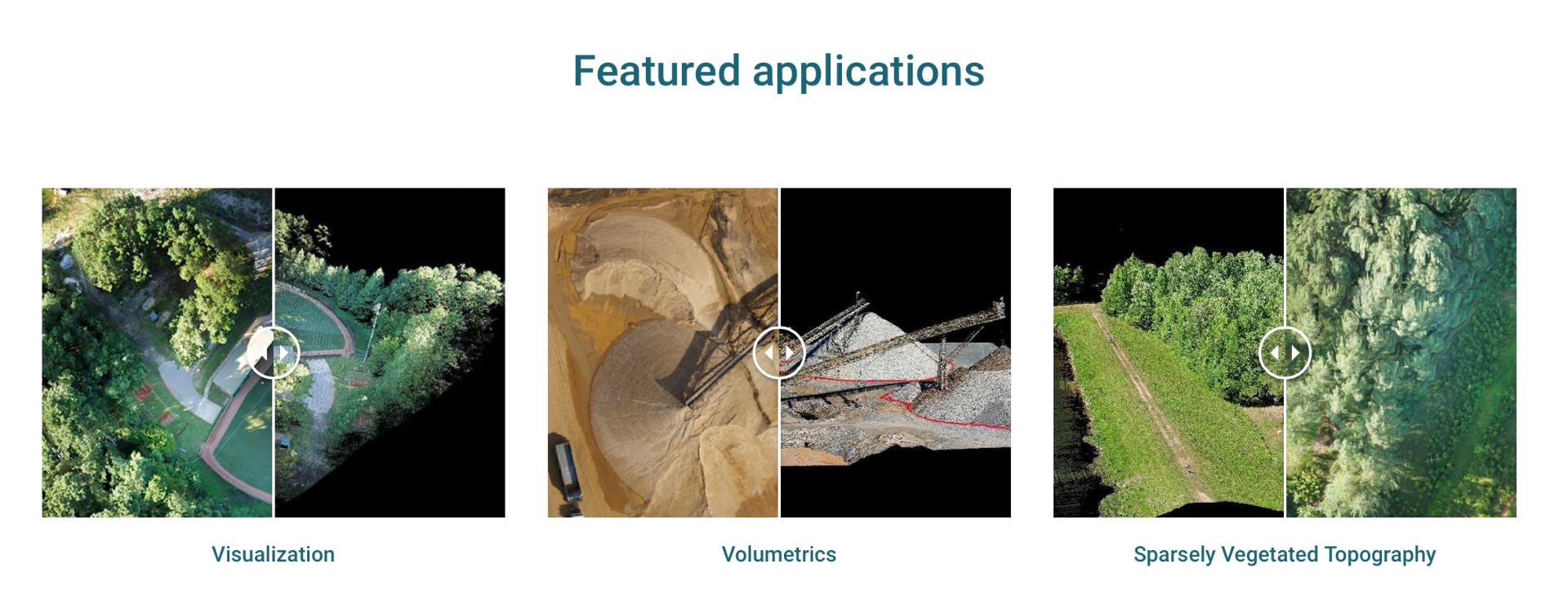
TrueView 435 is the most economical platform for utility-grade mapping. GeoCue’s TrueView 435 is our next generation compact 3D Imaging System that has sensitivity needed for infrastructure mapping. In addition, its superior ground capturing capabilities for lightly vegetated areas make this the most economical platform for utility grade-mapping.
Highly accurate drone LiDAR & imagery
Drone LiDAR is revolutionizing the way we work, such as creating 3D accurate models and allowing companies to digitize assets like never before. The TrueView™ product series uses a common hardware and software foundation for a family of sensors. The TrueView solution offers innovative drone LiDAR and photogrammetry solutions integrated in lightweight payloads. It allows for fast, easily automated generation of true 3D colorized point clouds, oblique imagery, and orthophotos from a single drone flight.
ONLY AVAILABLE FOR DELIVERY IN TEXAS, OKLAHOMA, NEW MEXICO AND ARIZONA.
SKU
FTV1000677A00N
Special Order

Drone Platforms
Our TrueView 3D Imaging Sensors were designed as a lightweight payload to allow flexible integrations on numerous drone platforms. We have worked with several drone providers to provide customers the complete drone mapping solution they are looking for. THose are DJI, Harris Aerial, Inspired Flight, Skyfront, FreeFLy nad Watts Innovations. Company not listed, contact our team and we can discuss custom integrations!