 877.309.4099
 Contact Sales
 877.309.4099
 Contact Sales
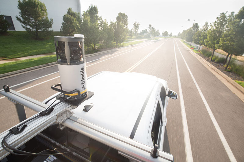


All
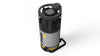
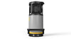
Trimble MX7 Mobile Imaging System
Trimble MX7 Mobile Imaging System
Out of stock
Share this product


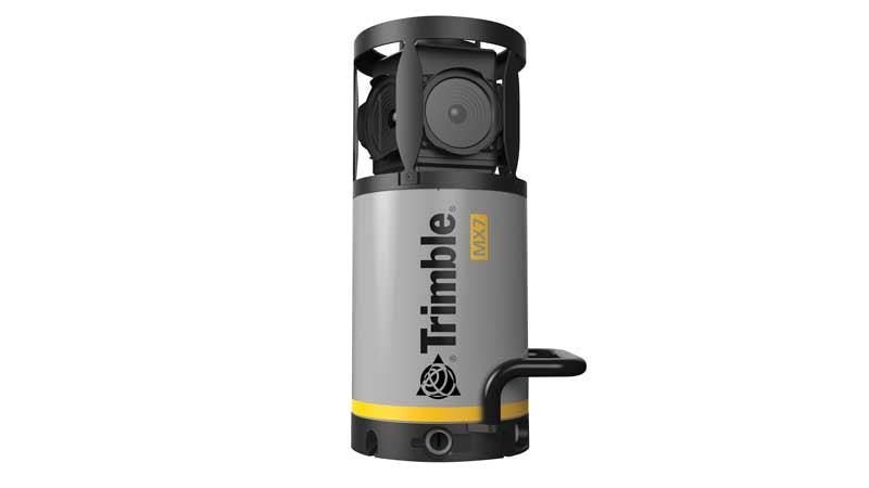


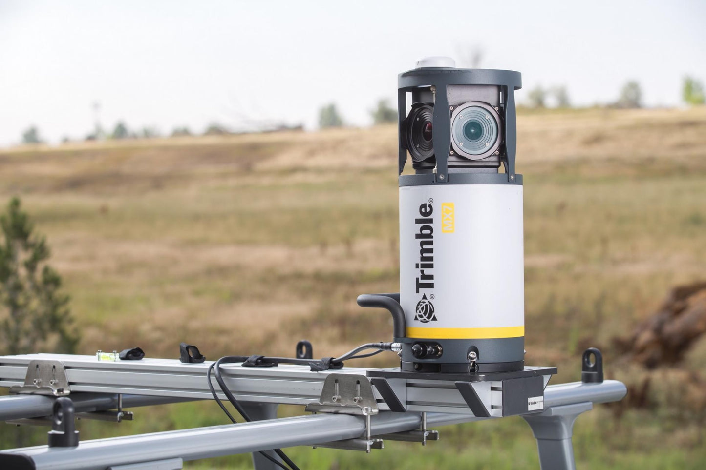
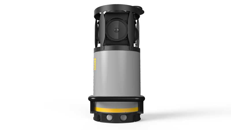
The Trimble MX7 with VISION™ technology is a vehicle-mounted photogrammetric system equipped with six, 5 megapixel cameras, and Trimble Applanix GNSS and inertial geo-referencing modules. The Trimble MX7 can be deployed on vehicles of all sizes, letting you capture 30 MP geo-referenced images at highway speeds.
Key Features
- Rapid 360-degree geo-referenced image documentation
- Precision positioning using GNSS and inertial referencing system
- Deploys on all sizes of vehicles
- Rugged, reliable and lightweight design with low power consumption
- Use with intuitive Trimble Mobile Imaging Capture software
Applications
- Local government: asset inventory and management, city models
- Mining: construction, monitoring
- Oil and Gas: site monitoring, asset tracking, change detection
- Utilities: electrical, pipelines
- Large scale mapping
- Roads: condition surveys, visualization, maintenance
The Trimble MX7 allows you to visually observe and capture the job site, then produce deliverables in the office later using Trimble Trident and Applanix POSPac™ MMS software. Trident Imaging Hub software is available with the system and offers robust object positioning, measurement, data layer creation, 3D models and analysis of geo-referenced imagery. Features Rapid 360-degree geo-referenced image documentation Precision positioning using GNSS and inertial referencing system Deploys on all sizes of on and off-road vehicles Rugged, reliable and lightweight design with low power consumption Use with Trimble Mobile Imaging Capture software and Trimble Trident office software for data capture, extraction and analysis.


