877.309.4099
 Contact Sales
 877.309.4099
 Contact Sales
-
-
-
-
-
-
-
For high accuracy surveys, Sony’s 42 MP full-frame sensor guarantees superior image resolution for a drone camera, while the low distortion lens ensures best reconstruction results.Quote Now
-
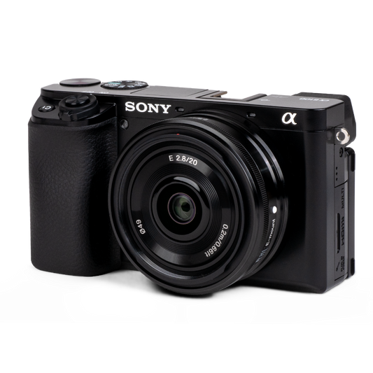
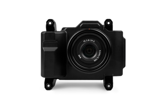
The a6100 camera from Sony offers the best combination of accuracy and coverage for an affordable price.Quote Now
-
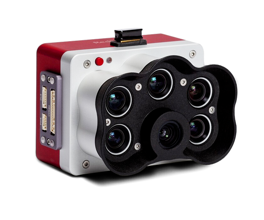
MicaSense RedEdge-PThe MicaSense RedEdge Panchromatic (RE-P) is our premium multispectral camera, which combines a panchromatic sensor with five narrow bands to produce high-resolution multispectral and RGB from one flight for advanced analytics.Quote Now
-
Powered by the Sony A7R Mark IV, RGB61 guarantees maximum coverage, superior accuracy and a lighter data load, while offering in-app light settings control.Quote Now
-
Wingtra LIDARWingtra LIDAR sets new standards in aerial mapping. Experience unmatched efficiency with user-friendliness and reliability to win more bids and improve construction project designs.Quote Now
-
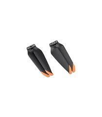
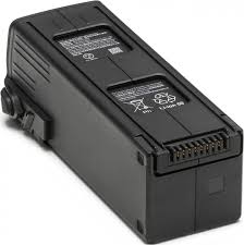
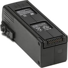
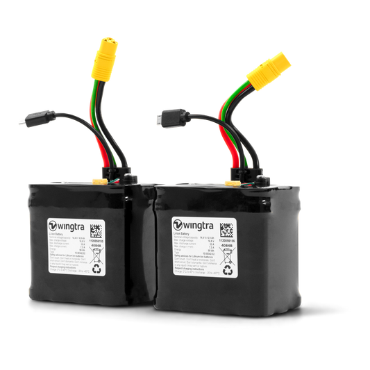
Set of Flight BatteriesQuote Now
-
-
Introducing the mdLiDAR 1000HR aaS payload. By combining the robust and field proven md4-1000 airframe, with a fully integrated high-resolution LiDAR & camera payload from Velodyne, the mdLiDAR1000HR can capture ultra-dense LiDAR data quickly and safely in the field. The Velodyne LIDAR payload utilizes the new Puck Lite sensor which offers increased range and field of view. HR means high resolution point clouds and increased coverage is made easier and more accessible than ever. This includes the mdLiDAR 1000HR Payload which is compatible with the md4-1000 platform (Versions C and D). Includes a 30-Day Warranty. CALL 877-300-9659 if you have any questions (mention you saw it on the website). Microdrones mdLiDAR 1000HR aaS Payload Includes: Microdrones mdLiDAR 1000HR aaS Payload TCQM (Top Cover Quick Mount) with AV-14 Antenna Microdrones Rugged Transport Case 30-Day Warranty NOT AVAILABLE FOR DELIVERY IN CALIFORNIA.Quote NowSale
-
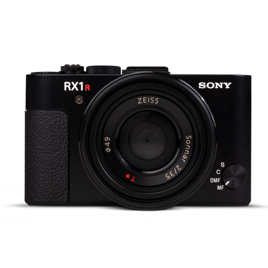
Microdrones Payload mdMapper 1000DG aaS will help you to achieve high levels of data accuracy, cover more ground in one flight, use less people and equipment on jobs – all without using ground control points. Significantly reduce your time spent on projects. Deliver unparalleled data quality. Become invaluable to your clients’ success. This includes the mdMapper 1000DG Payload which is compatible with the md4-1000 platform (Versions C and D). Includes a 30-Day Warranty. CALL 877-300-9659 if you have any questions (mention you saw it on the website). Microdrones mdMapper 1000DG aaS Payload Includes: Microdrones mdMapper 1000DG aaS Payload Sony RX1R II Professional Compact Camera with 35mm Sensor Sony NP-BX1 Battery Data Transfer Cable SD Card Reader Battery Charger Microdrones Rugged Transport Case 30-Day Warranty NOT AVAILABLE FOR DELIVERY IN CALIFORNIA.Quote NowSale
-

Item added to your cart