 877.309.4099
 Contact Sales
 877.309.4099
 Contact Sales
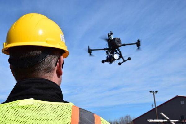


Aerial Imaging
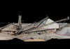
Geocue's TrueView 655/660 3D Imaging System With Three Cameras
Geocue's TrueView 655/660 3D Imaging System With Three Cameras
In stock
Share this product


TrueView 655/660 3D imaging system with three cameras, unlimited PP-RTX and optional drone/mobile mapping capability
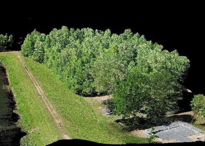
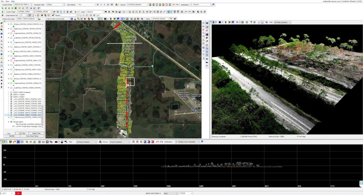
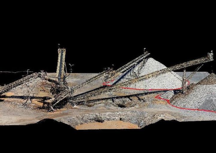
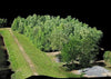
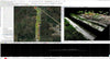
The TrueView® 655/660* is GeoCue’s third generation RIEGL integration built with the miniVUX-3UAV and triple mapping cameras (right, left, nadir) for high accuracy mapping with excellent vegetation penetration and wire detection in a lightweight payload package. In addition, you can upgrade to high-resolution Sony RX1R2 or Sony a7r imaging camera for even higher performance.
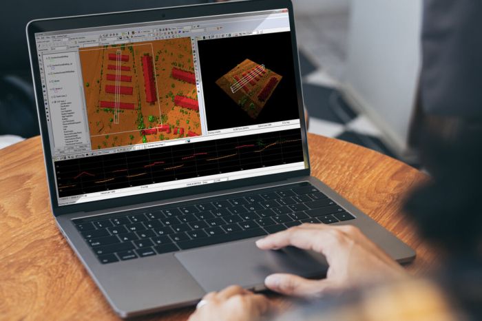
The sensor comes with unlimited Trimble PP-RTX post-processing. PP-RTX is a global, satellite-based correction service that replaces a local base station- think of it as a virtual base station in the cloud. Your flight data is post-processed using corrections from a worldwide network, delivering centimeter-level accuracy without setting up any ground equipment.
All 655/660-series payloads, are NDAA-compliant and can be upgraded to accommodate dual purpose drone and mobile mapping.


TrueView 655/660 3D imaging system with three cameras, unlimited PP-RTX and optional drone/mobile mapping capability
The TrueView® 655/660* is GeoCue’s third generation RIEGL integration built with the miniVUX-3UAV and triple mapping cameras (right, left, nadir) for high accuracy mapping with excellent vegetation penetration and wire detection in a lightweight payload package. In addition, you can upgrade to high-resolution Sony RX1R2 or Sony a7r imaging camera for even higher performance.
The sensor comes with unlimited Trimble PP-RTX post-processing. PP-RTX is a global, satellite-based correction service that replaces a local base station- think of it as a virtual base station in the cloud. Your flight data is post-processed using corrections from a worldwide network, delivering centimeter-level accuracy without setting up any ground equipment.
All 655/660-series payloads, are NDAA-compliant and can be upgraded to accommodate dual purpose drone and mobile mapping.


