 877.309.4099
 Contact Sales
 877.309.4099
 Contact Sales
All
MapSmart for Android
MapSmart for Android
Special Order
Easy to use field data collection software for anyone needing to quickly and accurately map, measure or position anything. This is a downloadable product and No Media will be shipped.
(An AllTerra Central Salesperson will contact after purchase and provide an installation code.)

Share this product


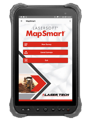
MapSmart is an easy-to-use field data collection software that is designed for anyone who needs to quickly and accurately map, measure, or position anything. It easily integrates with LTI laser devices and mapping accessories to turn a laser into a complete total station solution. Perform multiple calculations, including stockpile volumes right in the field. On Android, collect GPS for points or keep it simple with XYZ only and save data for use in your CAD or GIS Program.
MapSmart is an easy-to-use field data collection software that is designed for anyone who needs to quickly and accurately map, measure, or position anything. It easily integrates with LTI laser devices and mapping accessories to turn a laser into a complete total station solution. Perform multiple calculations, including stockpile volumes right in the field. On Android, collect GPS for points or keep it simple with XYZ only and save data for use in your CAD or GIS Program.


