 877.309.4099
 Contact Sales
 877.309.4099
 Contact Sales
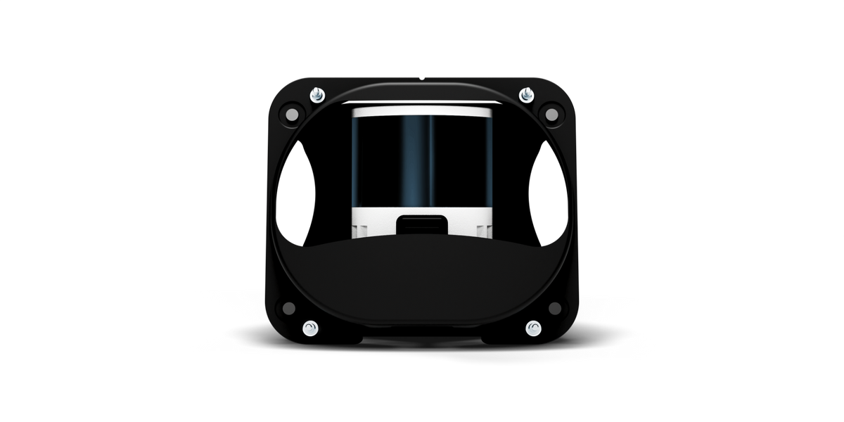


All
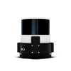
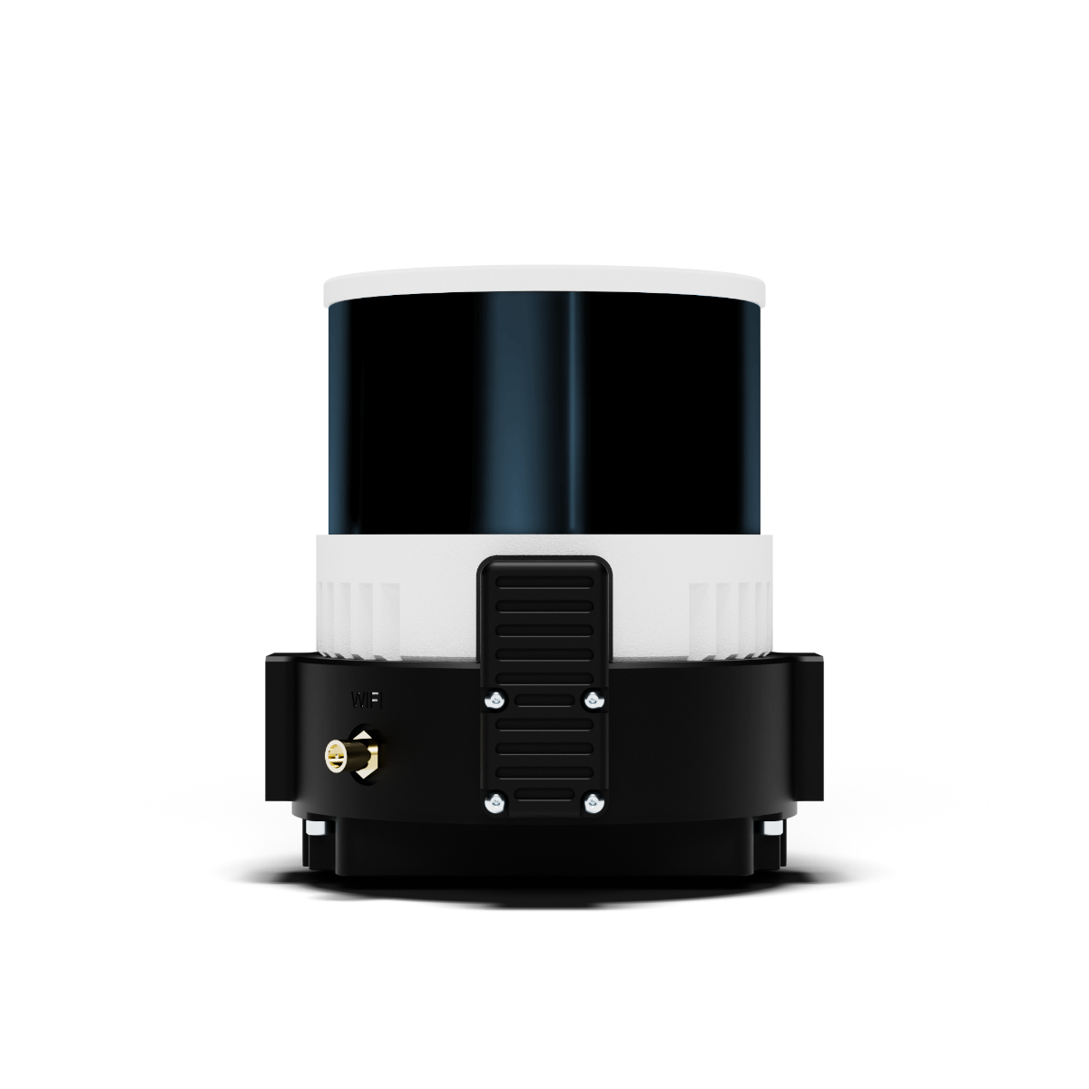
LiDAR Payload + 1-Year License
LiDAR Payload + 1-Year License
In stock
Share this product


Maximize efficiency
- Map up to 360 ha (890 ac) swiftly at 90 m (295 ft) altitude.
- No calibration needed with a quick one-minute initialization.
- Streamlined post-processing with the Wingtra LIDAR app for faster data turnaround.
Simplify your workflow
- Smooth data collection and processing for all level of expertise.
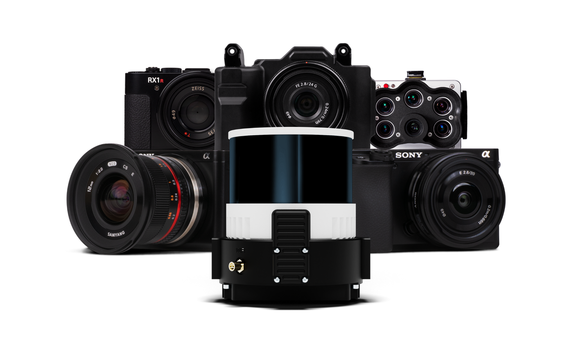
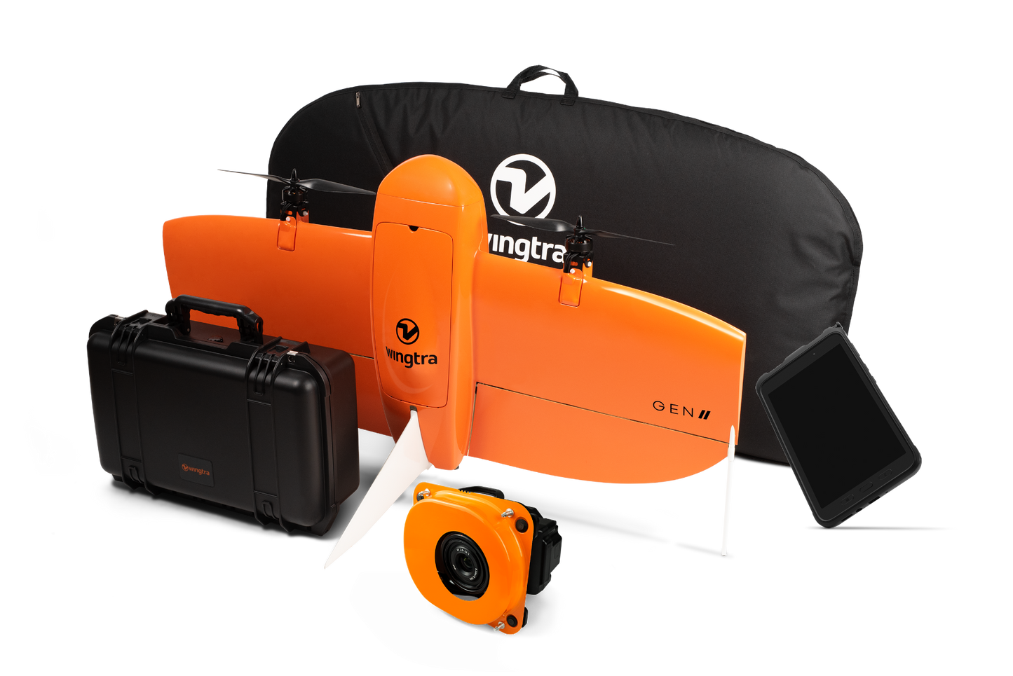
- Switch to photogrammetry when you need to with our easy plug-and-play GEN II platform.
- Take off and land anywhere thanks to VTOL capability.
Get accurate and reliable insights
- Trust you’ll get it right the first time.
- Design projects based on high accuracy data, and cut out costly rework.
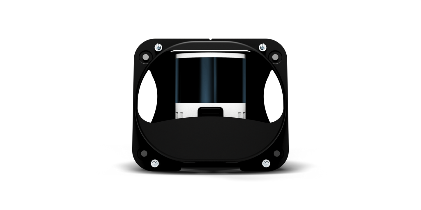
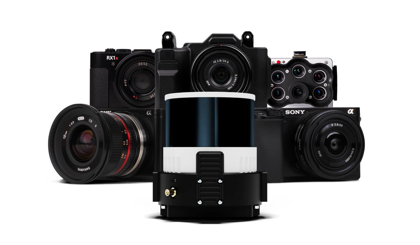
- Best-in-class Hesai sensor, and Inertial Labs IMU LIDAR kit for exceptional accuracy.
Maximize efficiency
- Map up to 360 ha (890 ac) swiftly at 90 m (295 ft) altitude.
- No calibration needed with a quick one-minute initialization.
- Streamlined post-processing with the Wingtra LIDAR app for faster data turnaround.
Simplify your workflow
- Smooth data collection and processing for all level of expertise.
- Switch to photogrammetry when you need to with our easy plug-and-play GEN II platform.
- Take off and land anywhere thanks to VTOL capability.
Get accurate and reliable insights
- Trust you’ll get it right the first time.
- Design projects based on high accuracy data, and cut out costly rework.
- Best-in-class Hesai sensor, and Inertial Labs IMU LIDAR kit for exceptional accuracy.


