
Background data
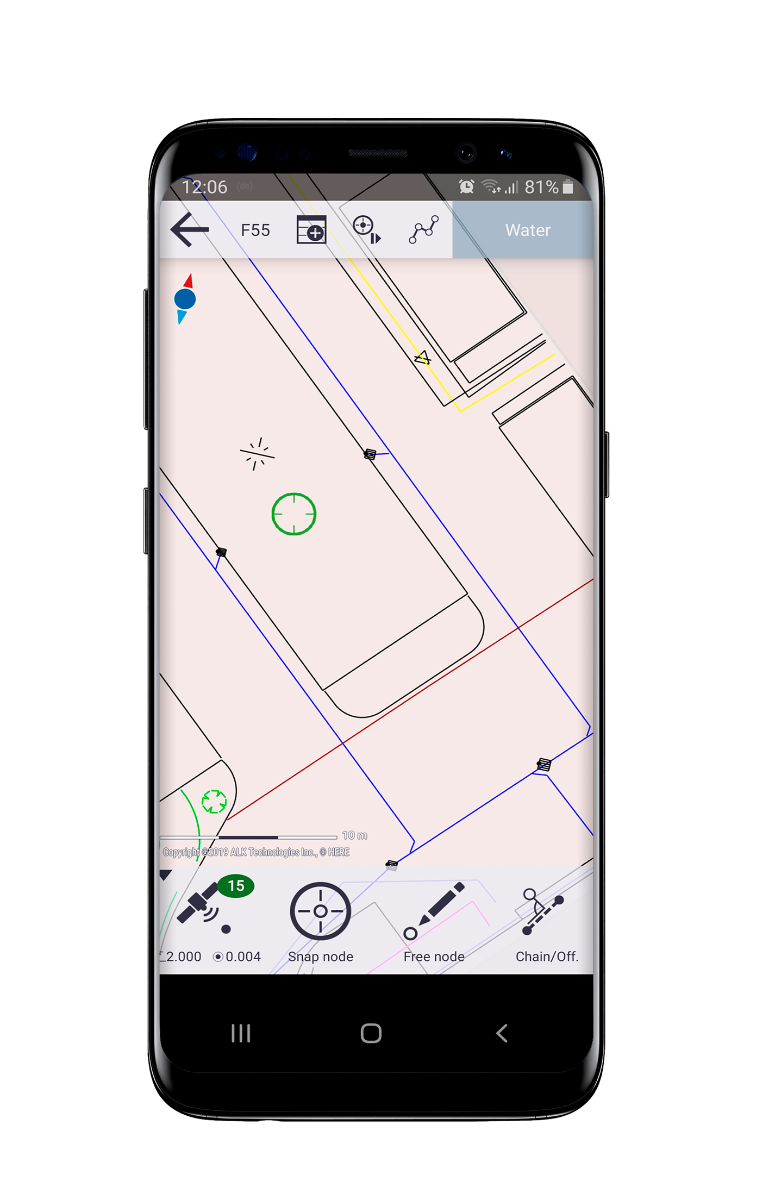
Flexible boundary line mapping - enabling the collection of geometry data using base maps and aerial imagery
Collect & Edit functions
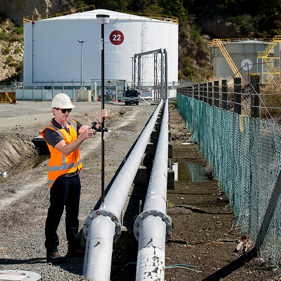
• Core survey functionality and high accuracy GIS data collection
• Snap function - enabling rapid data capture and avoidance of overlaps, redundant data, and gaps
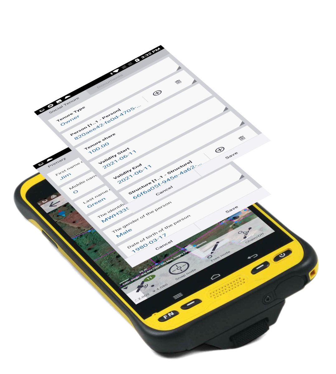
• Edit functions, customizable tool bar, and data model editor - offering maximum flexibility
• Simple tools for data acquisition, such as a digitizing function, COGO functions, as well as precise GNSS measurements
Flexible
• Enablement of bring-your-own-device (BYOD) Android OS data collectors
• Flexible, subscription-based pricing - enabling data collection initiatives to get up and running quickly and scale in a flexible way
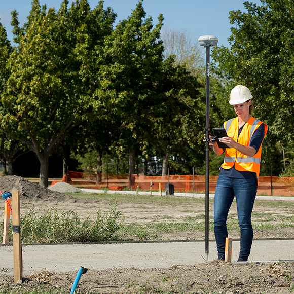
• Supports Trimble Catalyst software-based GNSS receiver for on-demand precise positioning
• Compatible with existing Trimble GNSS R-Series receivers


 877.309.4099
 Contact Sales
 877.309.4099
 Contact Sales
