 866.565.4936
 Speak to Sales
 866.565.4936
 Speak to Sales


All
Trimble VX 1" Robotic Spatial Station – - Excellent
Trimble VX 1" Robotic Spatial Station – - Excellent
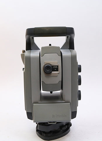
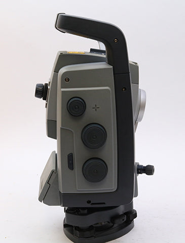
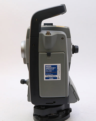
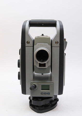
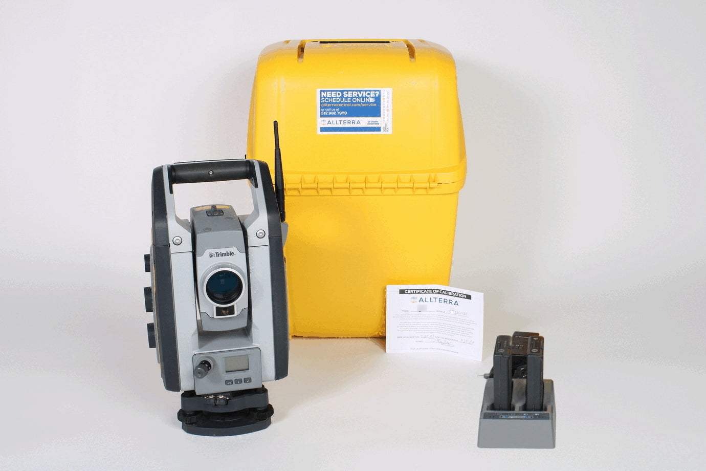
This Trimble VX 1” Robotic Total Station is used and in good condition. The Trimble VX 1" Robotic Total Station comes with two batteries, a dual charger, a Calibration Certificate from a Trimble Certified Technician and a transport case. VX 1” Robotic Total Station Includes: NOT AVAILABLE FOR DELIVERY IN CALIFORNIA.

Share this product


With the Trimble VX Spatial Station, you can efficiently capture the information you need to create digital terrain models (DTMs), volume calculations, and perform topographic measurements faster than with traditional surveying methods Advanced 3D models and image-rendered 3D surfaces are within your reach with the rich data delivered by Trimble Spatial Imaging sensors With the ability to capture metric images with the Trimble VX in the field, you are also able to make additional measurements and attribute the data back in the office It’s all accessible to surveyors with the Trimble VX and Trimble RealWorks® software Your clients will immediately see the detail of your work via 3D walkthroughs of the job site using your survey data, images, and scanned information all from the Trimble VX.
Code: 090220


