877.309.4099
 Contact Sales
 877.309.4099
 Contact Sales


All
Trimble TerraFlex Basic Subscription
Trimble TerraFlex Basic Subscription
Special Order
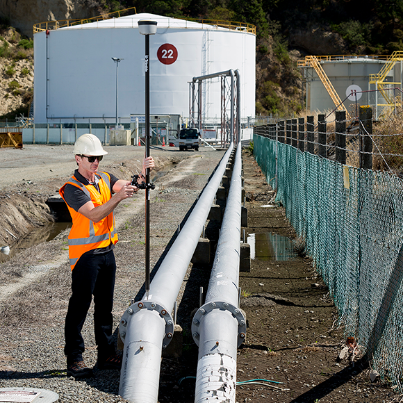
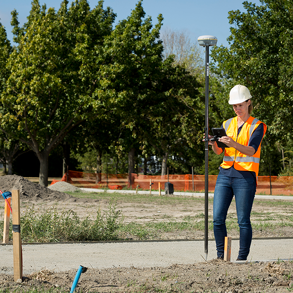
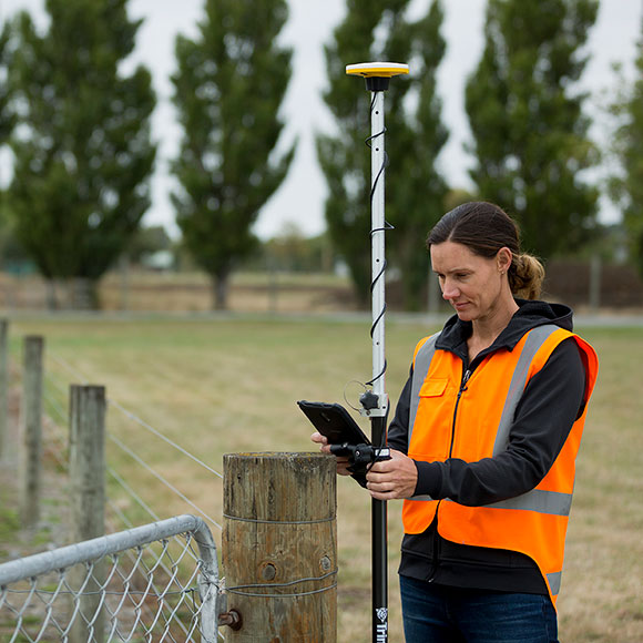
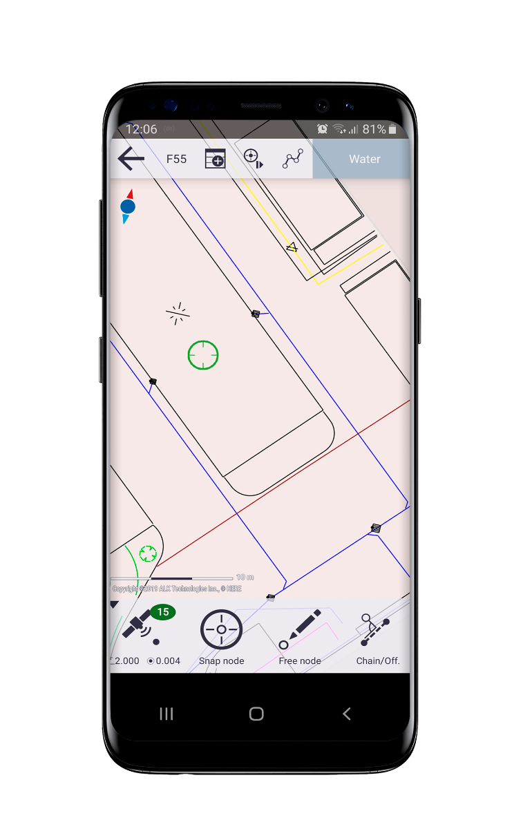
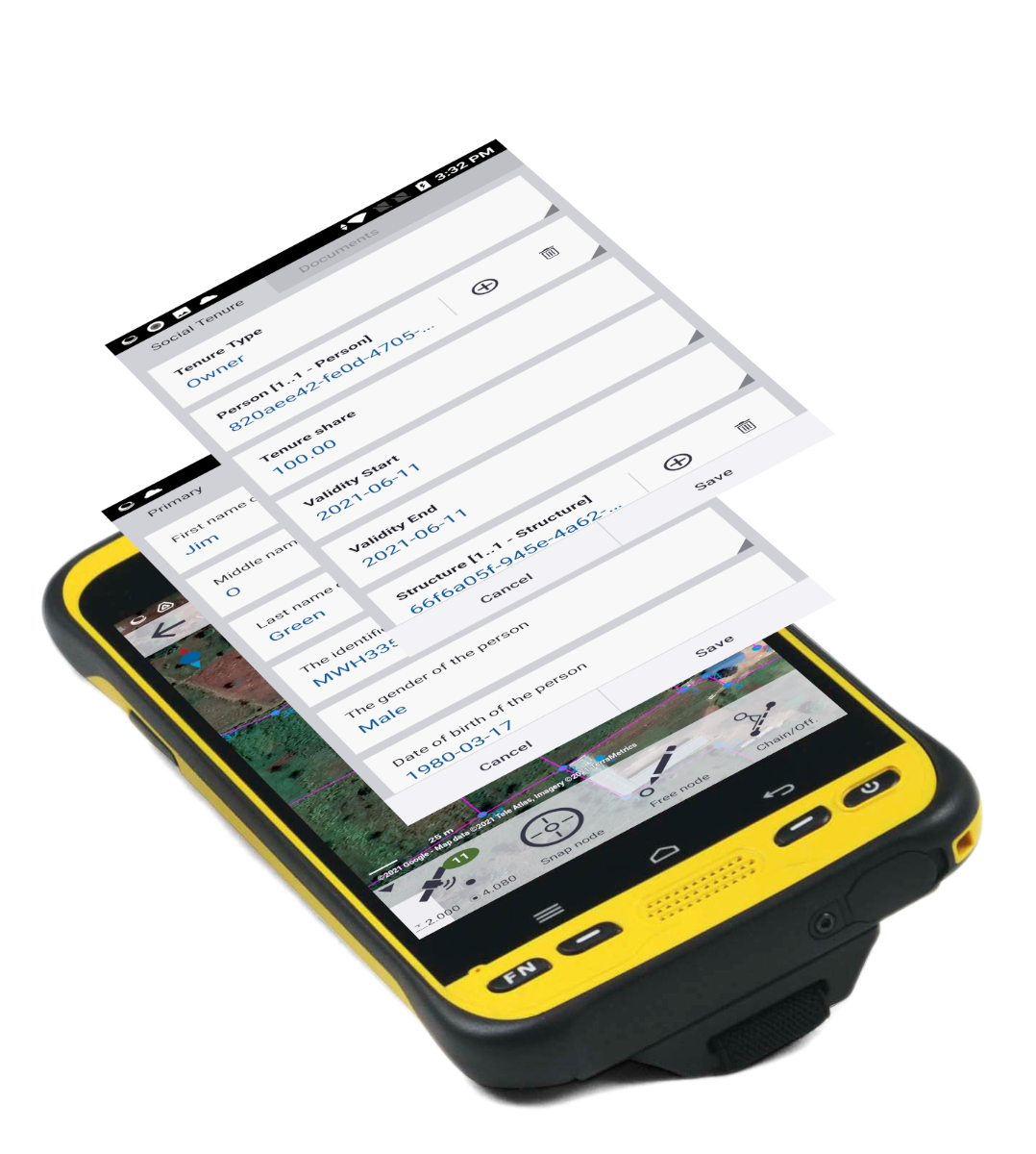
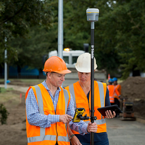
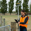
Powerful app for field survey and high accuracy GIS data collection The Trimble® Penmap for Android mobile application is a powerful, yet incredibly straightforward, cloud-connected application for cadastral field surveying and high-accuracy GIS data collection. Penmap is designed to provide both professional surveyors and field workers with a reliable and complete data collection application. Easy to use Easy-to-use, interactive, and map-based user interface - enabling a broader set of the community to aid in data collection GIS ONLY AVAILABLE FOR OUR CUSTOMERS IN TEXAS, NEW MEXICO, OKLAHOMA AND ARIZONA This is a downloadable product and No Media will be shipped.
Expires 12 months from invoice date.
(An AllTerra Central Salesperson will contact after purchase and provide an installation code.)

Share this product