 877.309.4099
 Contact Sales
 877.309.4099
 Contact Sales


All
Looq HandHeld
Looq HandHeld
In stock
Share this product


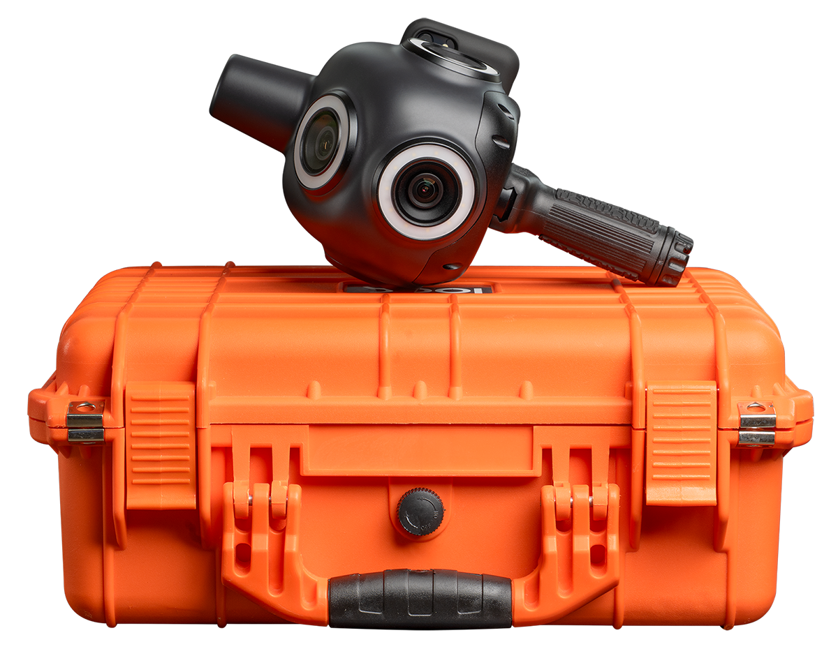
The Looq Platform is hand-held capture from the ground. This is spatial intelligence for critical infrastructure. The Looq Platform is a one-stop for creation, visualization, and analysis for topographic mapping and modeling of T&D assets. Specifically, it consists of three key components:
Capture with the qCam
- A proprietary 3D capture technology based on imagery and GPS. The company’s flagship qCam is a handheld or vehicle mounted camera with integrated survey-grade GPS, and an AI processor. b.
- This mobile capture method allows seamless capture of field data within minutes with survey-grade accuracy.
Process and Analyze Models with qAI
- Once the captured data is uploaded to the cloud, a proprietary and fundamental image to model (photogrammetry) algorithm (qAI) runs a complex analysis to automatically construct a high precision, sub-centimeter, and geo-referenced intelligent 3D digital twins as well as 2D composite images from the field data.
- The artificial intelligence part of the algorithmic processing automatically segments the geometrically accurate model and extracts critical asset semantic and geometric features to enable engineering workflows.
View, inspect, and collaborate all model details with the qApp
- All digital twin coordination, visualization, and data distribution takes place in the web application of Looq’s platform (qApp).
- This is the environment for project teams and users to virtually visit the physical assets and complete engineering work (e.g., view georeferenced data in 2D/3D, measure, extract, and export features).


