 877.309.4099
 Contact Sales
 877.309.4099
 Contact Sales


All
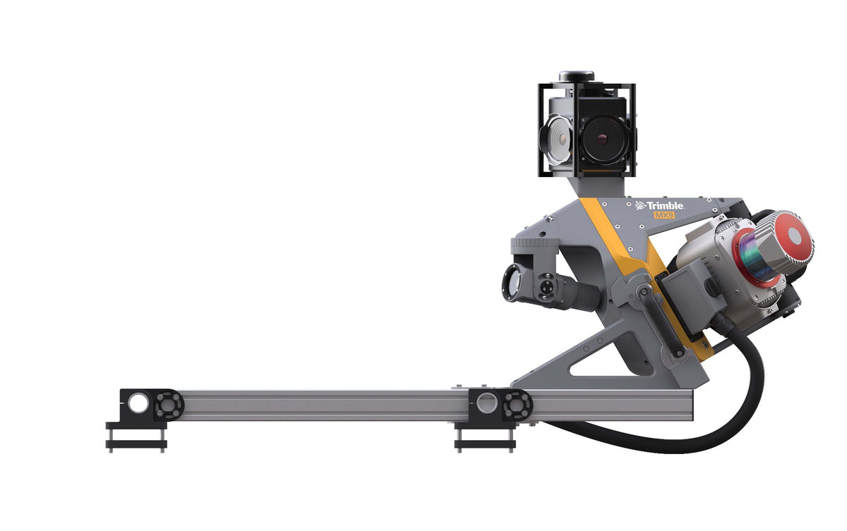
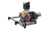
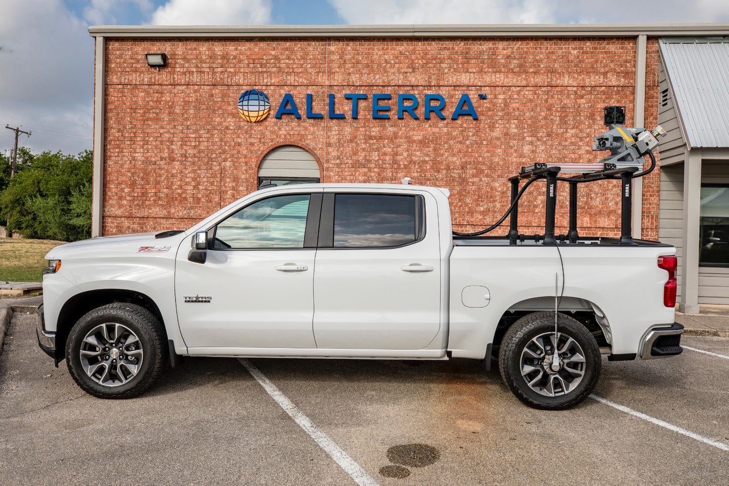
Trimble MX9
Trimble MX9
Out of stock
Share this product


Key Features
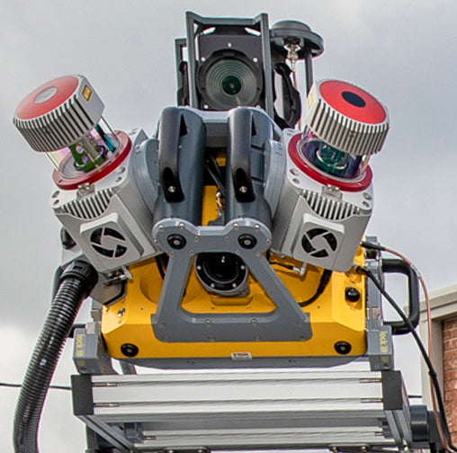
- New Riegl VUX scanners that produce 3.6 million measurements per second
- At lower scan rates, the range captures data up to 475 M.
- 12 MP camera planar cameras for object inspection and mapping.
- Very high point cloud density with complimentary immersive imagery
- Advanced Trimble GNSS and Inertial technology
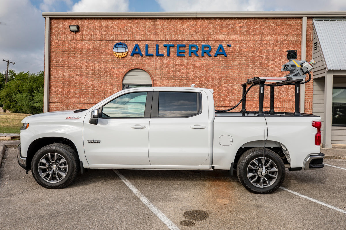
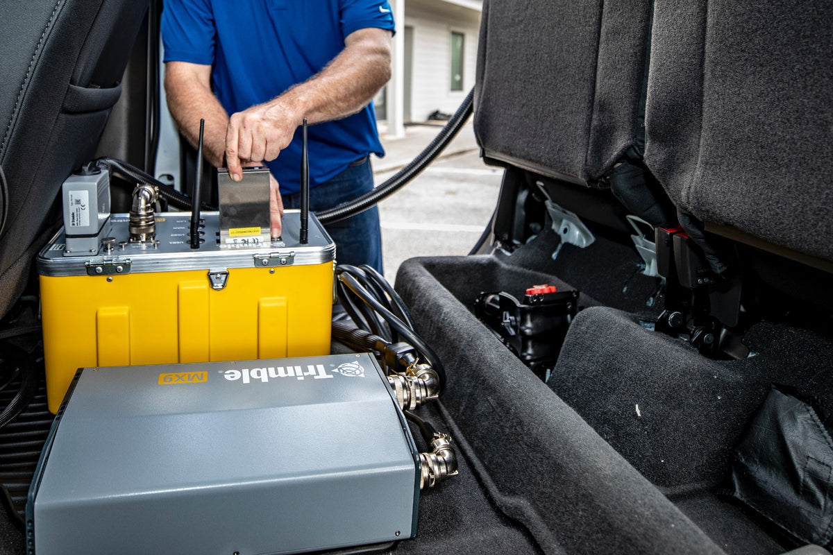
- Lightest and most compact premium mobile mapping system
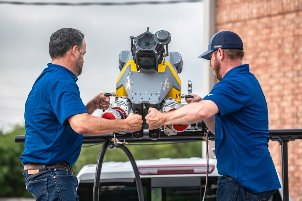
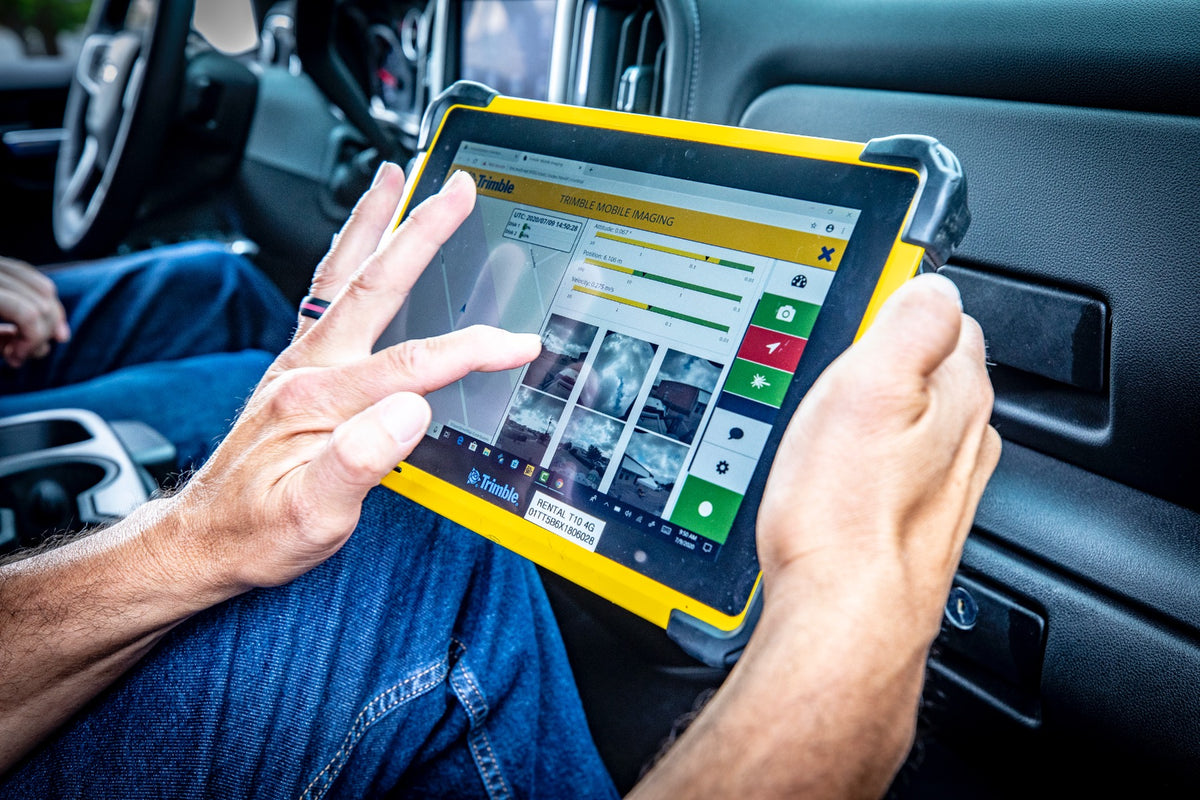
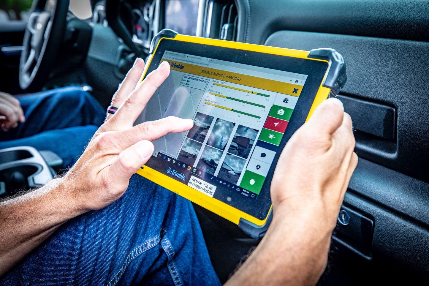
- Simple installation and browser based operation from any smart device
- Compatible with existing Trimble software and workflows
- Enhanced remote support capabilities
- Supported by Trimble Business Center (TBC) Mobile Mapping for efficient data processing
- Trimble MX software for feature extraction workflows and data publishing
Applications
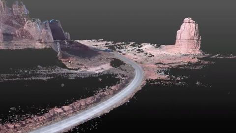
- Whatever the application, the Trimble MX9 quickly and efficiently collects the highly precise and powerful data you need, and delivers it across your organization.
- Whether you are a city planner, work for a department of transportation or are a service provider, count on it for generating deliverables such as:
- Road assets
- Cross sections
- 3D models
- GIS layers
- Elevation models
- Volumetric analysis
Key Features
- New Riegl VUX scanners that produce 3.6 million measurements per second
- At lower scan rates, the range captures data up to 475 M.
- 12 MP camera planar cameras for object inspection and mapping.
- Very high point cloud density with complimentary immersive imagery
- Advanced Trimble GNSS and Inertial technology
- Lightest and most compact premium mobile mapping system
- Simple installation and browser based operation from any smart device
- Compatible with existing Trimble software and workflows
- Enhanced remote support capabilities
- Supported by Trimble Business Center (TBC) Mobile Mapping for efficient data processing
- Trimble MX software for feature extraction workflows and data publishing
Applications
- Whatever the application, the Trimble MX9 quickly and efficiently collects the highly precise and powerful data you need, and delivers it across your organization.
- Whether you are a city planner, work for a department of transportation or are a service provider, count on it for generating deliverables such as:
- Road assets
- Cross sections
- 3D models
- GIS layers
- Elevation models
- Volumetric analysis


