 877.309.4099
 Contact Sales
 877.309.4099
 Contact Sales

All
TrueView GO 132S - Upgraded handheld mapping system for seamless reality capture
TrueView GO 132S - Upgraded handheld mapping system for seamless reality capture
In stock
Share this product


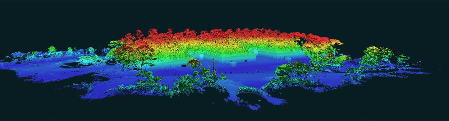
The TrueView GO 132S is an upgraded handheld mapping system for seamless indoor and outdoor reality capture and high-definition 3D mapping. This state-of-the-art device features 32 channels, three 5MP high-resolution RGB cameras, and a sophisticated 3D LiDAR & Imagery scanner, easily converting complex environments into precise digital twins.
One of the most affordable ways to get started with handheld mapping. Process your LiDAR data in LP360 Land’s advanced LiDAR processing software — including powerful QA/QC tools, 3D editing, and additional analysis capabilities with access to processing, updates, and support.
The Traditional Purchase Option provides you with plans that include perpetual licensing of LP360 Land Basic or Standard software—no subscription required. Own your TrueView GO solution outright and enjoy continuous access to LP360 Land's powerful tools for LiDAR data processing, visualization, classification, and advanced 3D analysis.


