 877.309.4099
 Contact Sales
 877.309.4099
 Contact Sales


Aerial Imaging
Wingtra Ray Map 61
Wingtra Ray Map 61
In stock
Share this product


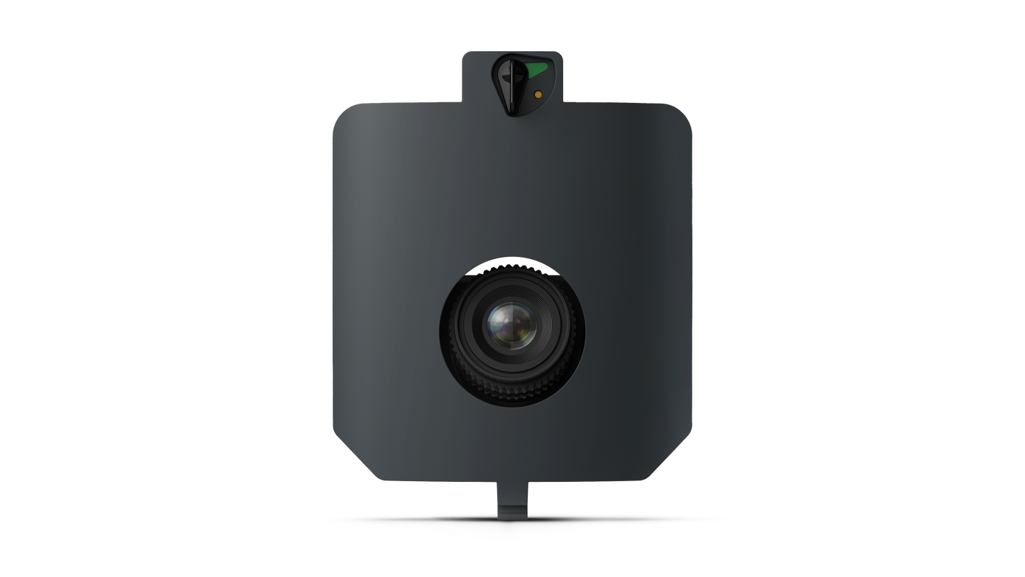
Wingtra Map 61
MAP61 is Wingtra's most efficient mapping sensor, engineered for both large-scale 2D mapping and high-resolution 3D models.
Only Wingtra combines high-resolution with vertical take-off and landing (VTOL) and WingtraCLOUD. This integration lets you plan, capture, and process everything in one seamless platform, simplifying workflows and delivering faster insights. Capture highly-detailed 3D models of complex structures with precision for accurate analysis and planning.
Mining & Metals
Generate detailed 3D models for accurate slope and rock composition analysis to ensure operational safety.
Construction & Infrastructure
Capture road corridors safely-even amidst live traffic-by flying parallel to highways in compliance with airspace regulations.
Land Management
Identify developments and property boundary encroachment to settle legal arguments, even in challenging environments with tightly-clustered trees or buildings.
Urban Planning
Create high-res 3D digital twins of urban developments to engage stakeholders in faster decisions.
Forest Management
Capture detailed maps to monitor forest health, assess wildfire risks, enhance response time to fires, and post-fire recovery efforts.
Tech Specs:


