 877.309.4099
 Contact Sales
 877.309.4099
 Contact Sales


Aerial Imaging
WingtraRAY: Advanced Aerial Surveying, LIDAR, and NDAA Compliance
WingtraRAY: Advanced Aerial Surveying, LIDAR, and NDAA Compliance
In stock
Share this product


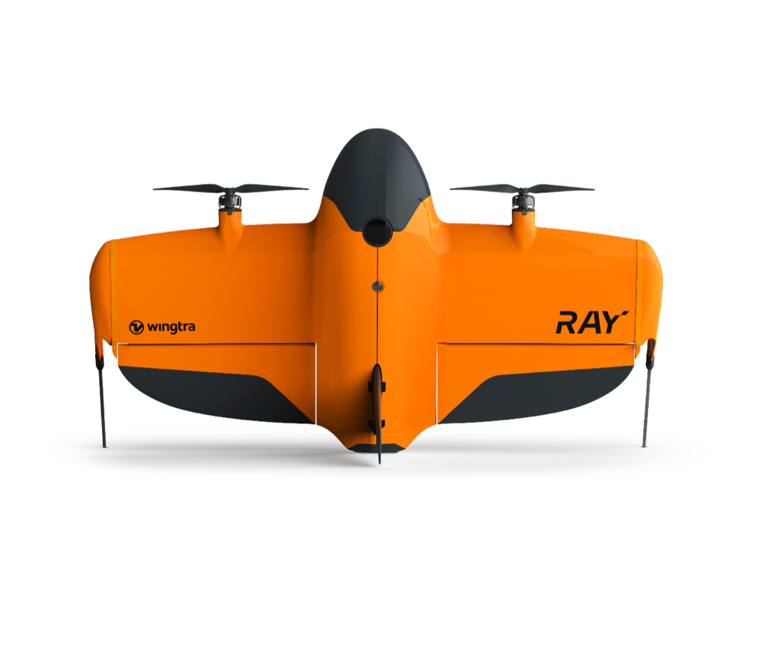
WingtraRAY redefines aerial surveying by guaranteeing mission success on the very first flight. Its modular, all-in-one design scales effortlessly from millimeter-level inspections to large-area mapping, so you can serve more clients and tackle a wider range of projects with a single versatile platform.
WingtraRAY Benefits over traditional drones
- Ease of use: Plan in the office or the field. Simple workflows ensure successful data capture every time.
- NDAA Compliant: Ensure you are compliant for ANY project
- Efficiency: Cover up to 1,400 acres in a single flight
Capture detailed elevation data even through dense vegetation for advanced terrain modeling and topographical analysis with Wingtra's LIDAR sensor – a high-performance aerial scanning solution within a streamlined surveying workflow. With point densities up to 200 points/m², it excels in mining, construction, urban planning, and environmental monitoring.
Get access to survey populated areas - no paperwork or waiting time needed. WingtraRAY’s parachute enables compliant operations over people* to eliminate the need for flight permits while ensuring on-the-ground safety.
Uninterrupted, all-day operations: Cover large areas or multiple jobs in one day.


